The plan was this:
10:00-12:00pm: Hike out to the beach: ~2 miles
12:00-1:00pm: Hike along the beach until we reached the point where it was impassible at high tide: ~1 mile
1:30-3:00pm: Wait for the tide to go down, and finish the rest of the trail: ~2 miles
3:00-5:00pm: Hike up Buck Creek Trail and to the car: ~4 miles
You'd think that we would be able to finish around the right time, considering that 2 miles an hour is really not a fast pace at all. ...We were so wrong!
So we took our time in the morning... had some instant oatmeal, some fruit leather, refilled our waters, packed up the tent, etc.
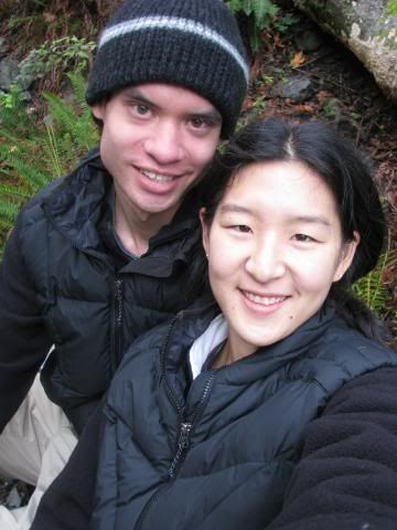
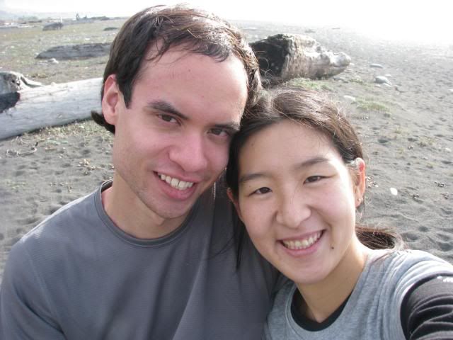
We look so tired.
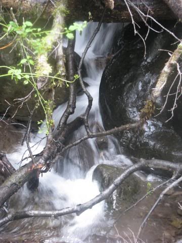
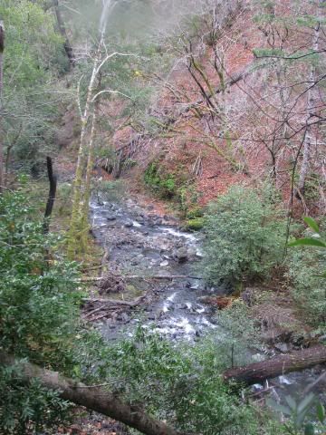
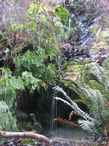
The continued Rattlesnake Trail out to the Big Flat was amazingly gorgeous. It was very full of trees and bushes, and best of all, little waterfalls!
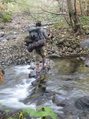
We finally got to the next river crossing, and again, we were having problems finding a good place to cross. Amusingly enough, we ran across another couple of guys backpacking, and they were on the other side of the creek trying to get to our side. So after yelling our hellos and "Are you trying to cross?" over the sound of the water, we all came to the conclusion that the best solution was to take off our shoes and ford the river. Granted, the river wasn't too bad with regards to speed and depth, but it was still high enough to get into our boots if we tried to hop across.
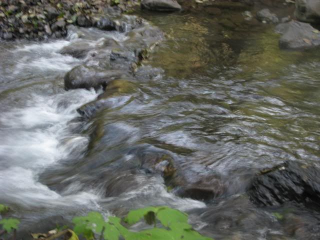
Yay rushing water. It was very cold water.
Again, I have the camera. Wee!
We finally made it out to the beach around noon or so.
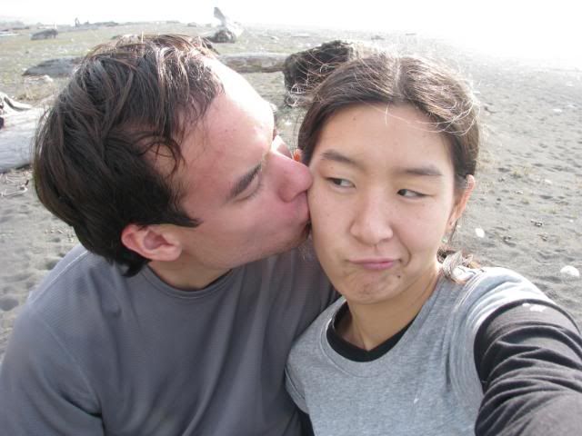
Cheesy shots!
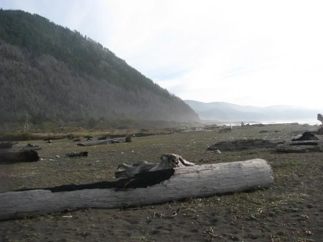
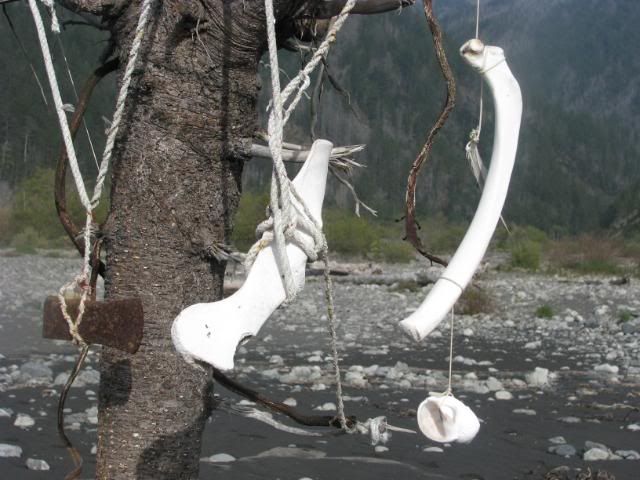
The walk along the beach was definitely interesting... there were lots of make-shift driftwood shacks that people seemed to be living in. Most of the residents looked like surfers. Along with that were some really interesting creations...
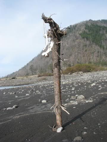
Yes, those are bones.
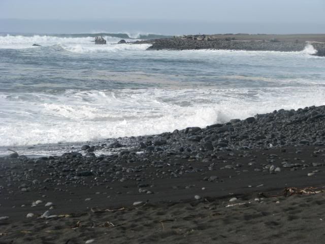
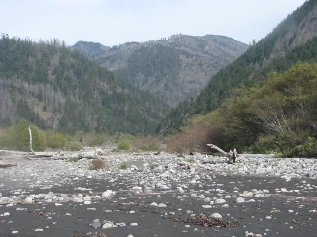
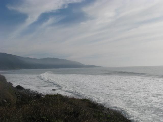
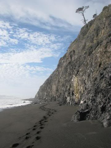
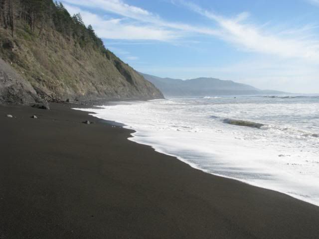
The mountains were gorgeous, though, and so were the clouds and the waves. We reached the end of the trail before heading down onto the beach itself, but the tides were still high enough for the waves to crash against the cliffs, so we decided to wait a while.
Finally, after waiting about an hour until 1:30 or so, we were finally able to hike down to the beach.
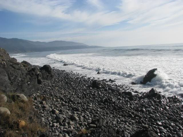
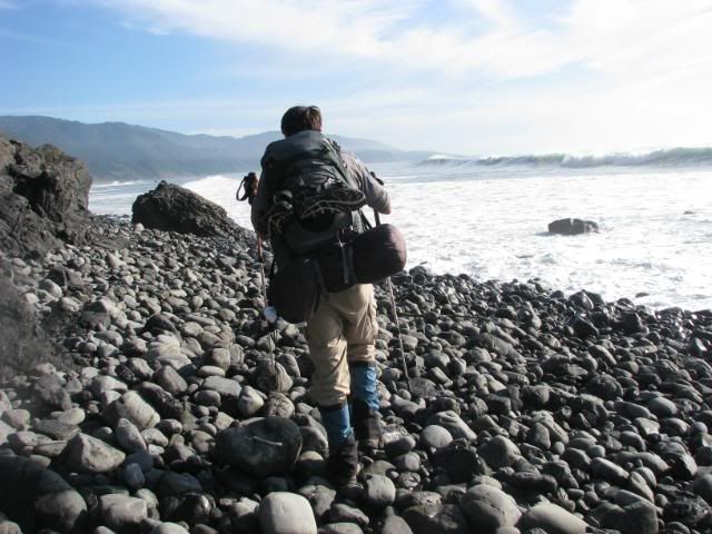
By the way, rocks are a PAIN to walk on. I must have almost twisted my ankle hundreds of times by the end.
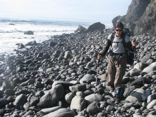
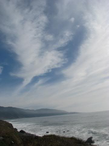
This one of my favorite pictures from the hike:
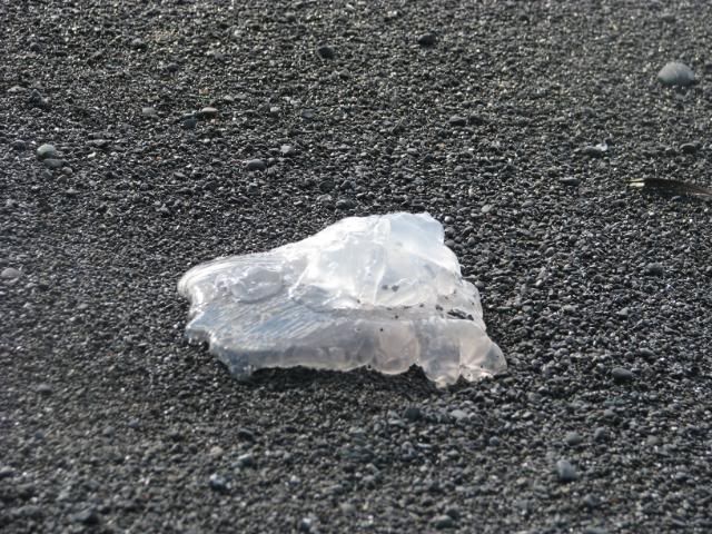
Jellyfish! There were many beached jellyfish.
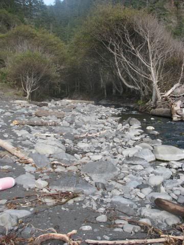
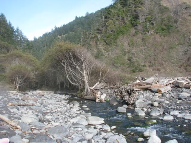
So, according to the map, we had to cross about 3 creeks before reaching Buck Creek Trail (Buck Creek would be the third creek). We weren't very sure what was considered a creek, because there were lots of points along the trail where water was trickling down.
We finally reached one. It had already been an hour or so, but it was the first big creek/river that we had passed. It was very pretty, and came out of a tunnel of trees that looked like it was the entrance to the land of Narnia, or something of the sort. If it was Shipman Creek, then it was very disheartening since it mean that we basically spent an hour going only a mile along the Lost Coast Trail, and beach walking is very tiring.
Still, we trudged on, and began asking people along the way which creek it was since we had no clue at that point where we were. Nobody else seemed sure.
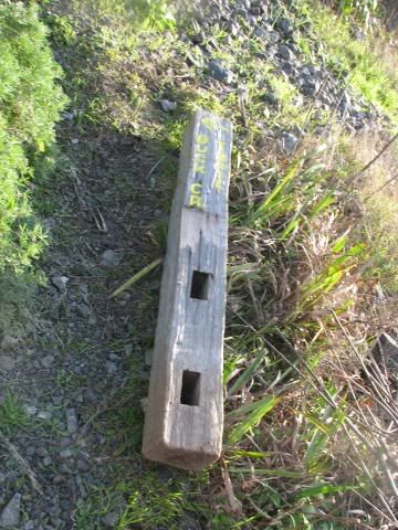
Finally, at 3:15 pm, we finally found the mouth of another river, and walked up a bit. There seemed to be a couple campsites, and it looked like it could be Buck Creek. We found a potential trail, and after a few meters, we finally came across the elusive Buck Creek Trail sign.
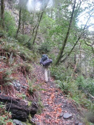
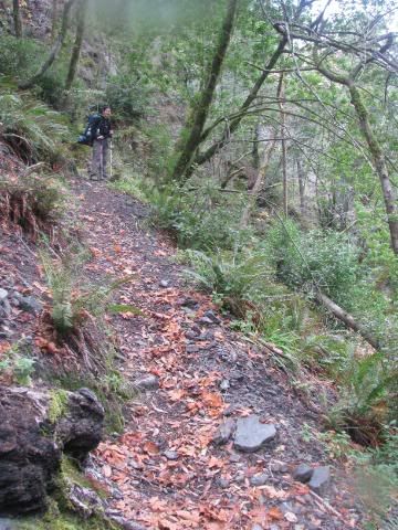
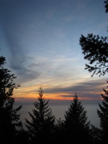
At this point, it was 3:30 pm, and we had 4 miles to go, and 3,500 feet to climb, so the pictures dropped off really quickly at this point. We were racing against sunset with really sore legs, 40 pounds on our back, and what must have been at least a 25% grade at some legs of the trip.
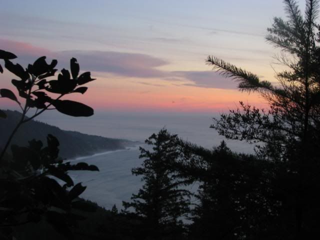
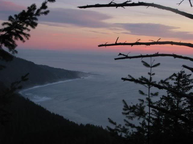
Of course, I needed to stop for some pictures of sunset/dusk.
We believe that is Shelter Cove out there.
After that, we continued to dash as fast as we could. Around 5:00, we came across the same guys that we ran across on Rattlesnake Creek Trail. They said that we had about another 1.5 miles to go, which means that it took us about a mile an hour, which was very depressing. By the last mile and a half, it became completely dark, we turned on our headlamps, and trudged along, needing to stop every 100 feet because our legs were about to give in. When we finally reached the intersection of Buck Creek Trail and King's Crest Trail, it was 6:15 pm or so, and we hurried our way along. Partially because we wanted to get home, and partially because I am apparently extremely afraid of the dark. I have watched too many X-Files episodes.
In the end, we finally reached the car around 6:45/7:00 pm, and got back to San Francisco around 1:30 am, and that was it. :)
It was definitely a rough trip. By the end, I could not feel my legs or my feet at that point. Still, it was an adventure pushing the last 4 miles, and I do not regret my decision. I hope to be able to go back and hike the entire Lost Coast some day!

No comments:
Post a Comment