Day 1
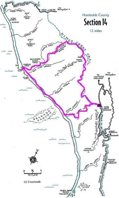
Begin at Saddle Mountain Trailhead for King's Crest Trail (big magenta blob, elevation: ~3,000)
Head up to King's Peak (elevation: ~4,000), ~5.5 miles
Head down Rattlesnake Creek Trail until we hit Rattlesnake Creek (elevation: sea level), ~5.0 miles
Day 2
Head down Rattlesnake Creek Trail down the Big Flat to the Beach (elevation: sea level), ~1.0 miles
Walk down the Lost Coast Trail until Buck Creek Trail (elevation: sea level), ~3.0 miles
Day 3
Head up Buck Creek Trail to King's Crest Trail (elevation: ~3,300), 3.0 miles
Head down King's Crest Trail back to the car (elevation ~3,000), 1.0 miles
It sounds all nice and dandy, until I realized that all I could think about when the sun went down until morning was (a) holy crap it's dark without the moonlight and apparently I'm really scared! and (b) holy crap I have way too many papers due after Thanksgiving Break. So, we squished hiking for Day 2 and Day 3 together, but that story will come later. (One thing to note: Mike and I had not had a chance to go practice hiking due to all my dance practices and performances, and the last time we went hiking was about 2 months ago on the Ohlone Trail beginning at Del Valle Regional Park.)
The drive up to the trailhead gave us spectacular views, but the unpaved roads also took a toll on the poor minivan we borrowed from Mike's parents.
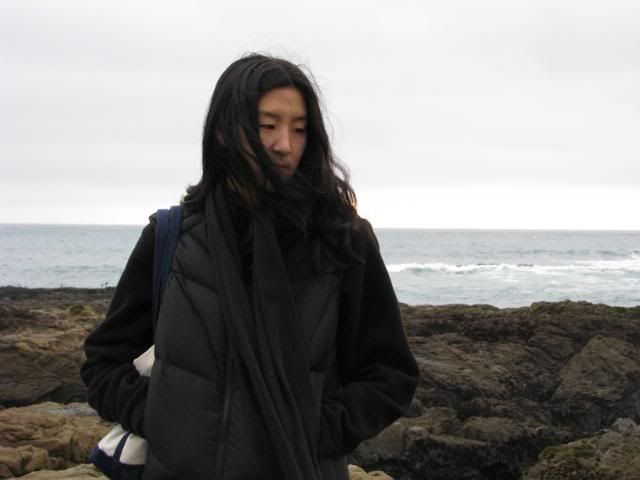
Apparently I have problems keeping the horizon flat when I take pictures, but oh well.
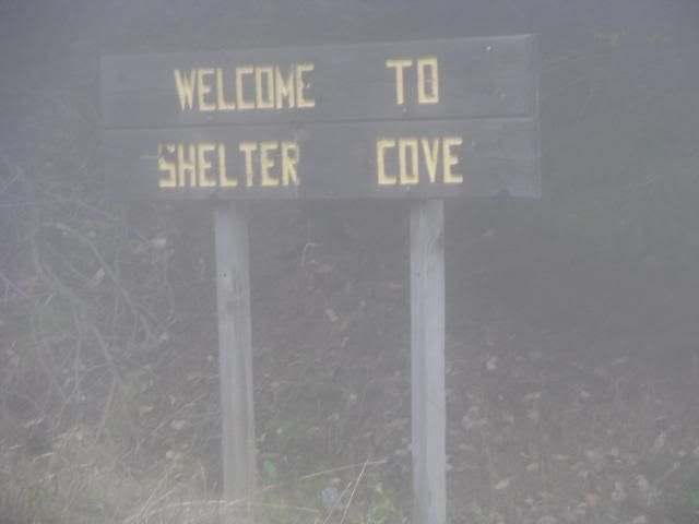
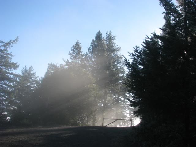
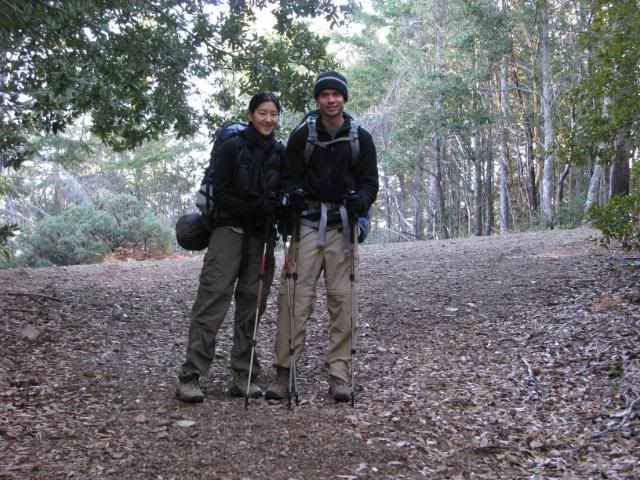
We left Shelter Cove at 9:30 am or so, and it took us until about 11:00 am to get to the trailhead and start.
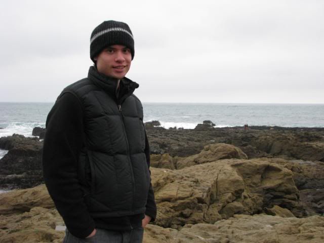
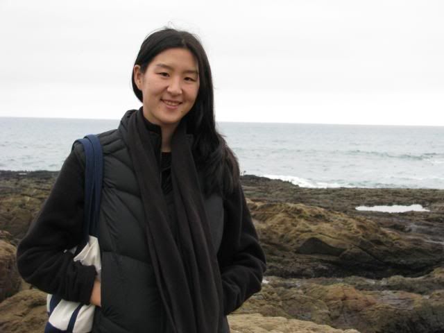
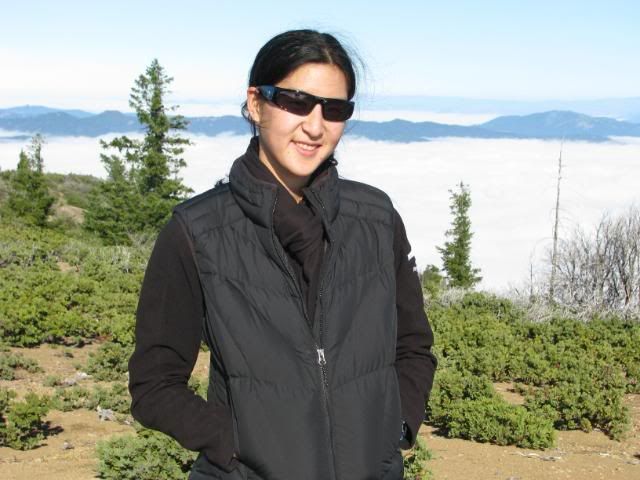
We looked so happy and alive when we started!
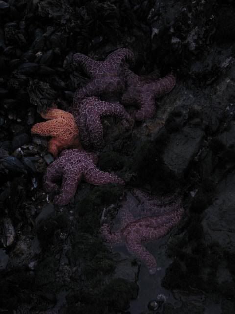
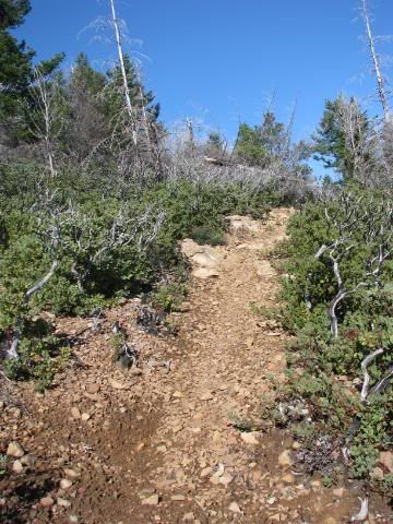
The King's Crest Trail was a nice hike. It started out fairly wide, and what I found spectacular were all the different ecosystems that we walked through. Of course, this was partially possible only because in that difference of about ~1,000 feet in elevation, we must have gone up and down for a total elevation change of about ~3,000.
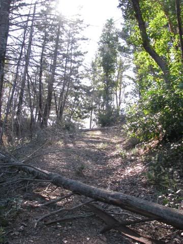
There were a fair amount of felled trees on the King's Crest Trail, and some of it was not well-maintained at this time of year. Some were like the ones below, where all you had to do was walk over it on one side of the trail, but often, especially when the trail was narrow, there were felled trees that were kind of a pain to maneuver around.
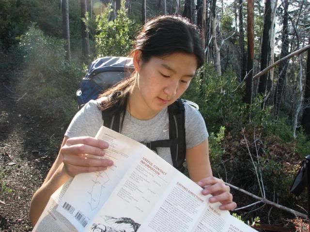
I kept on looking at the map because I began to lose track of where we were. All the hills look the same, darn it, and the map was not very detailed with regards to all the switchbacks that were there! (Tom Harrison needs to make a map for the Lost Coast some day...)
I like breaks!
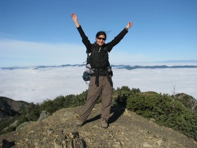
We finally reached the top of King's Peak!
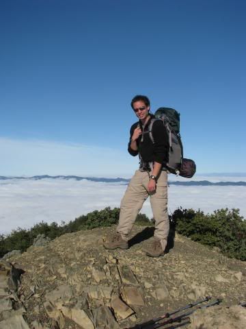
I have the most unflattering pants ever.
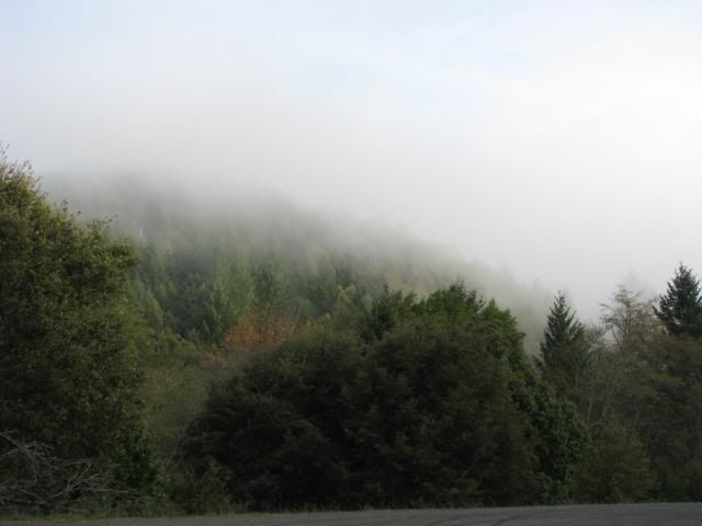
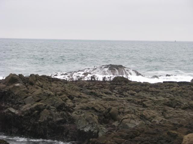
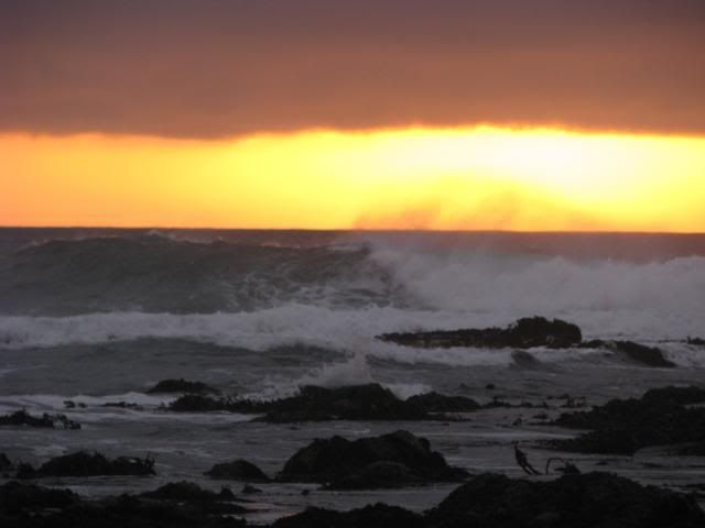
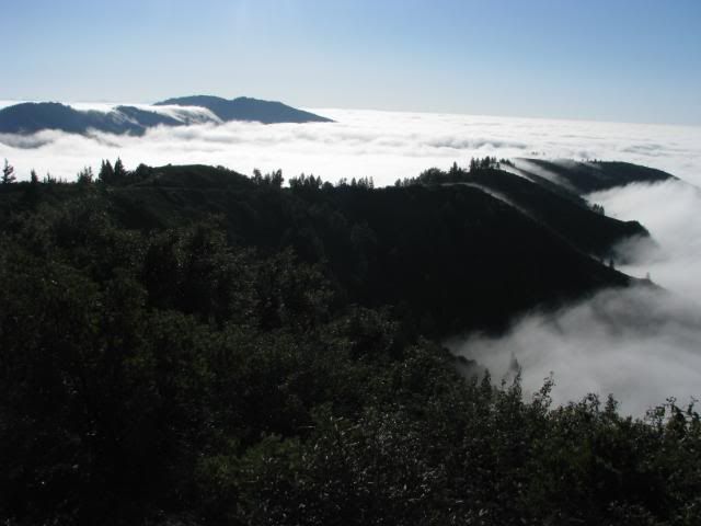
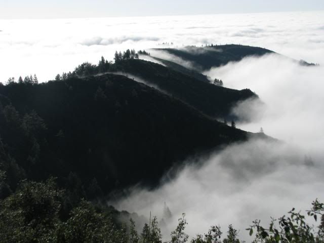
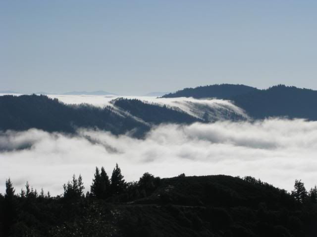
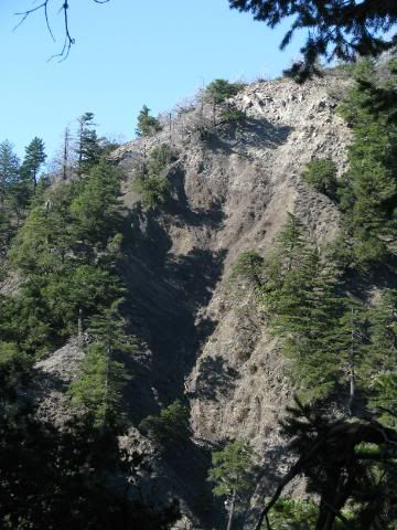
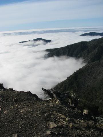
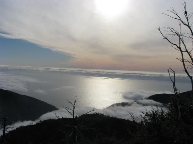
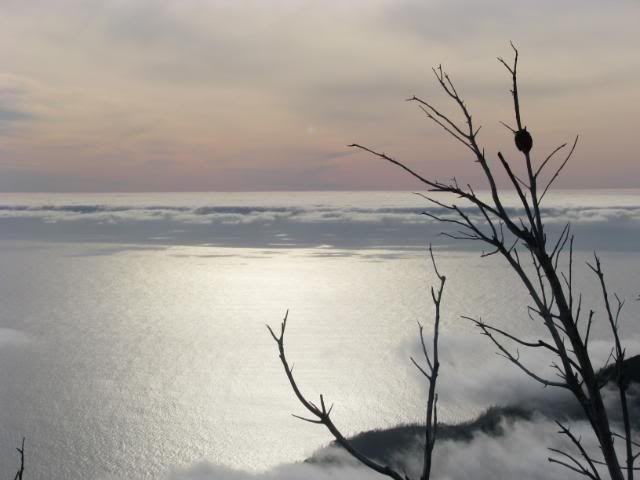
The view on one side was all fog and clouds:
The other side looked over the bay and was gorgeous:
(Again with the slanty horizon!)
At that point, it was already 1:30, and we had planned to summit around 12:00, so we were running a little behind schedule. We quickly headed off down (and up and down and up and down...) the King's Crest Trail and finally reached the Rattlesnake Creek Trail in what felt like forever. The Rattlesnake Creek trail was a fairly steep downhill, and half of it was filled with large pebbles and small rocks, making the way down a ridiculous skid and slide down (and in my case, a nice little fall as well). Alas, there are no pictures between King's Peak and the creek since we were slipping and sliding our way down so we could find a camp before nightfall. We did run across an old lady backpacking by herself near the peak, and a couple of guys passing us the other way about 25 minutes away from the creek. They were going to be camping at Bear Camp, a camp half way up Rattlesnake Creek Trail.
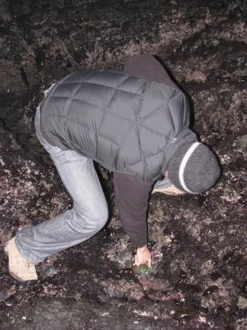
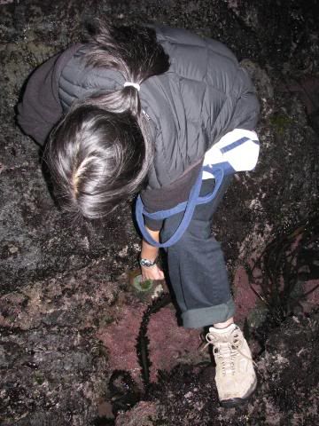
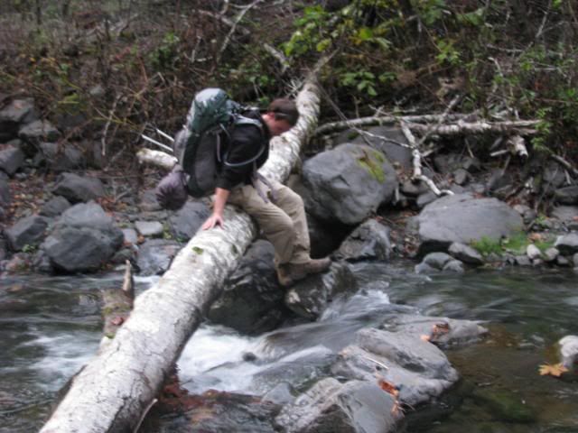
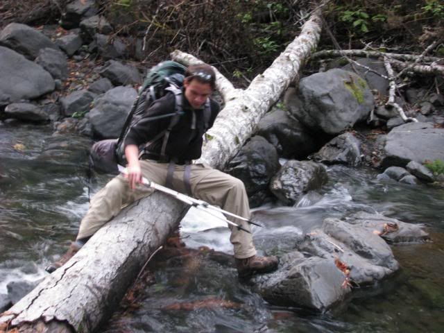
We finally reached the creek, and were having a difficult time crossing the creek, but figured that we needed to since there did not seem to be a place to camp on the side that we were on. So... after going back and forth and back and forth, I figured the easiest way was to scoot our bums across a fall tree log. Since I had the camera and since I went first, I got to take the awkward looking pictures!
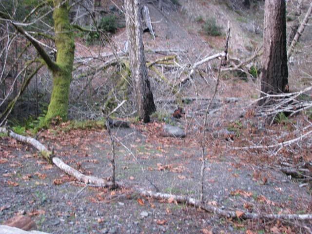
Our lovely campsite! We finally reached there around 5:00 pm as the sun was already starting to dip below the horizon.
The first time our new tent was pitched outside.
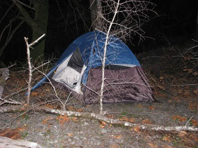
I'm a big fan. Anyhow, we made a lovely Thanksgiving Feast of freeze dried chicken teriyaki with rice, a chocolate chip Clif bar, and a Trader Joe's strawberry fruit leather. Yum.
After dinner, the sun had completely set. We attempted to start up a little fire since we were extremely bored and it was only 6:30 pm. Alas, all the wood around the creek was damp and wet, so nothing was willing to burn. We huddled in the tent, looked at the map and decided that we were going to try and make it all the way back since sitting around and not working was making me antsy and stressed out. We fell asleep on and off for the next 12 hours until 7 or 8 the next morning.
One thing I learned that night: I am ridiculously paranoid and afraid in the woods with no moonlight. I can do with a little moonlight, but even in Yosemite, I kept on hearing bears every couple of minutes outside the tent. It is apparently 10 times worse with no light whatsoever.