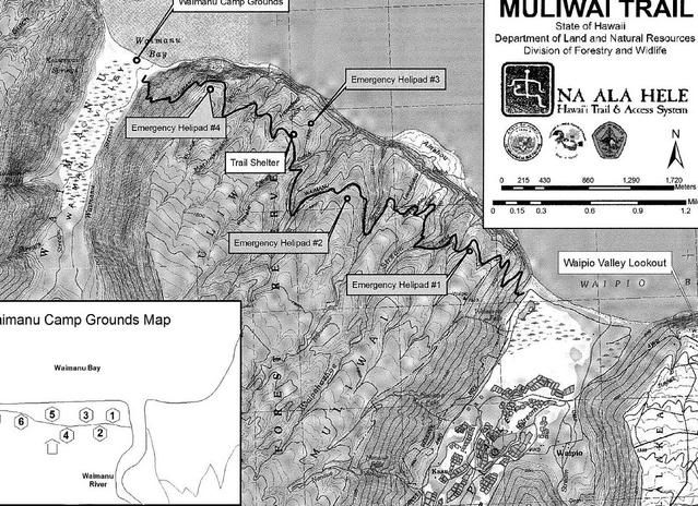
The plan was... to take 2-3 days on the trail. We were afraid of how long fording rivers might take, especially if there were any flash flooding, and we did not know how in shape we would be after finals and with little sleep beforehand, so we played it safe. The trail from the Waipio Valley Lookout to the Waimanu Valley was about 10 miles, give or take, and we wanted to make sure we set up camp before dark, especially since we really were not sure what the situation was going to be like there, and there were supposed to be about 8-9 rivers to ford.
The Original Plan
Tuesday, December 23: Drive from Hilo Bay Hostel at 8:00 am, drive to Waipio, park at Waipio Valley Artworks, hike to the Waipio Valley Lookout (~1 mile), begin at Waipio Valley, hike down and across the beach (~2 miles), and up the Z-trail (~2 miles). Total: 5 miles
Wednesday, December 24: Head out on the Muliwai Trail, get to Muliwai (~7-8 miles). Total: 7-8 miles
Thursday, December 25: Explore, come back on Muliwai Trail, celebrate Christmas (~7-8 miles). Total: 7-8 miles
Friday, December 26: finish Muliwai Trial back up to car (~5 miles), drive to Kona, wee. Total: 5 miles
Day 1 did not turn out to be anything we planned.
We left Hilo Bay Hostel around 7:30 or 8:00 am, and the drive to the Waipio Valley Artworks parking lot only took about an hour or so, so we had arrived there by 9:00/9:30. We paid for parking, and was finishing the last of the packing and slathering of mosquito repellent and sunscreen, when an elderly couple drove up and started chatting, asking us where we were going, etc. While Mike was finishing up, I was telling them about our plans to backpack down the valley into the abandoned Waimanu Valley, etc. for a few days.
Elderly couple: So, how are you getting to the lookout?
Me: Walking, I guess.
Elderly couple: It's a long walk!
Me: I suppose, but it's not too bad considering how much else we are planning to do.
Elderly couple: Did you want a ride?
And so that was just awesome and fine and dandy, so we were saving time hitch-hiking with an elderly couple. Sweet.

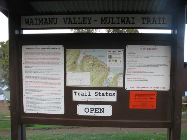
After saying our thank-yous and the likes, we headed down the road the descended into the valley. The first mile of the trail is on a paved road that heads into the valley. Only 4-wheel drives are allowed down there, seeing as it is a 25% grade down and up.
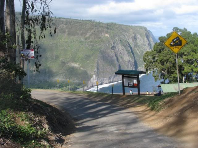
There were many warning signs at the head of the road, and all the way down to the bottom (you'd think that people would have turned back after a while. By that point, well, is there a point?)
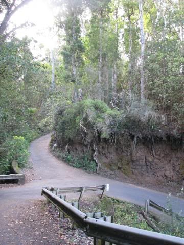
The walk down was cool, even if it was on a paved road. You could see the root system of the trees, and had a great view of the Waipio Valley, and the very daunting Z-Trail.
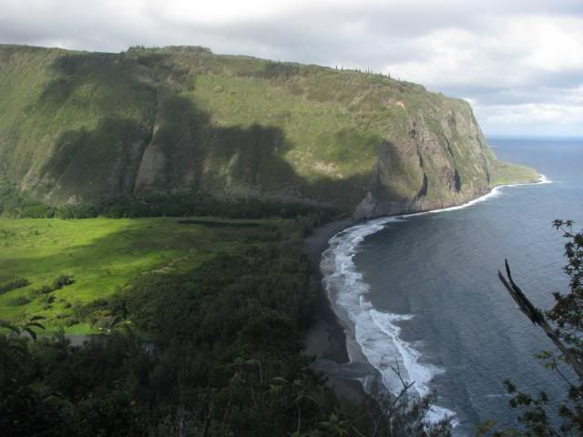
If you look very closely, you can see a little zig-zag trail going up that mountain. That, my friends, is the Z-Trail. About a mile long with an elevation change of about 1,300 ft.
Soon after heading into the valley, it was time to ford our first river! It was actually really annoying, because it was a pretty swift-moving stream that was pretty wide, and got pretty deep. There were a bunch of surfers there who I swear were laughing at us. They told me that I needed to walk out into the ocean, and there was a sandbar there, and I just needed to go far enough, but not too far. Feeling really awkward with 35 pounds on my back and REALLY not wanting to get wet within the first mile or two of the trip, I gingerly walked into the ocean. I guess I didn't go far enough, or whatever, but they kept on telling me to go further, but then they gave up on me in the end. Hey... I have lots of weight on me and clothes I don't want to get wet! Oh well, I made it mostly dry in the end. ...It's easy for them to say, they're wearing swimsuits and carrying surfboards.
A look into the Waipio Valley.
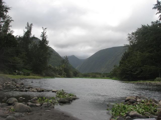
You can see the Z-Trail a little better here:
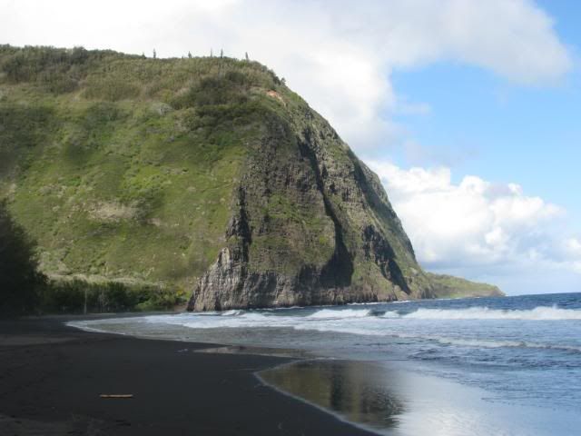
After crossing the stream, you're supposed to be able to see a waterfall. Unfortunately, Hawaii had not been getting much rain at this point, so there was just a dry waterfall.
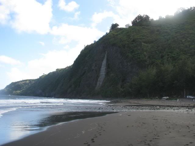
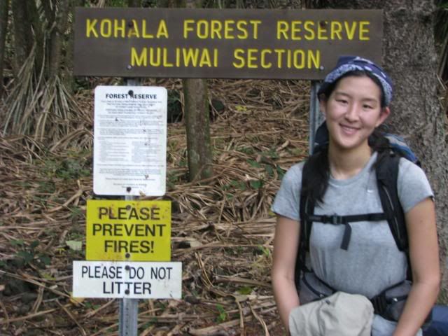
The beginning of the Muliwai Trail! Woo!
So we headed up the Z-trail around 11:00 am. It wasn't as bad as I thought it would be. It was a pretty well-maintained dirt trail that just basically went back and forth, so I was able to get some nice pictures of the valley on the way.
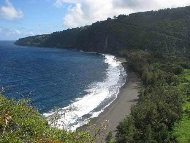
I'm lovin' the sunlight.
So near the top of the Z-trail part of the Muliwai Trail, you come across this mini forest of ghostly pine trees with a blanket of pine needles on the ground. It's pretty creepy.
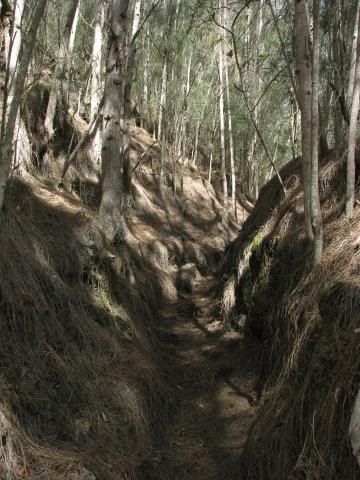
Somewhere in the there, we had lunch, and realized it was the only place we had reception since Hilo (we called the parentals to reassure them that we were still alive).
We have hats! (And I'm out of focus!)


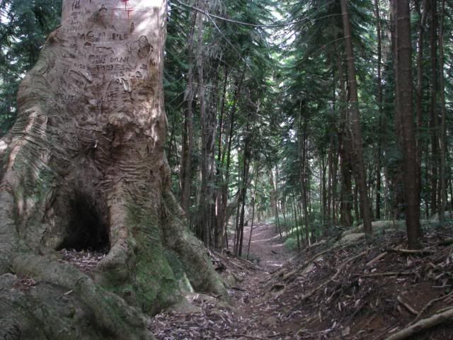
It makes me sad what people do to trees.
More dried waterfalls, what?
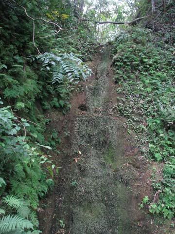
So this was very disappointing. Part of the reason why I wanted to go to Hawaii and go hiking and backpacking in the area was so I could see the waterfalls! What the heck? All I get are a bunch of mossy, buggy dried up rocks. The bright side of this is that, now, we don't have to worry about fording 9 rivers and be scared about flash floods. The bad news is that there was no water between the head of the trail and the end of the trail where the last campsite was! Well then, I guess the only thing to do is to finish the 10-11 miles and set up camp (hopefully before dark).
Crazy tree that fell across a gorge and had branches that grew like tree trunks.
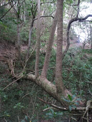
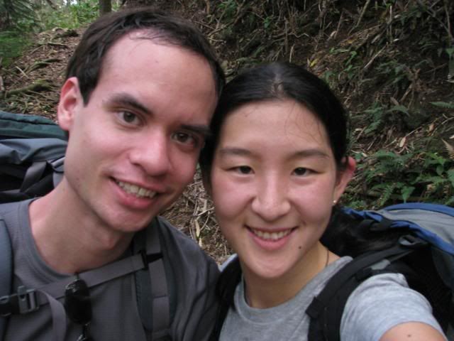
Now you get a shot of our ugly, out-of-focus mugs. :)
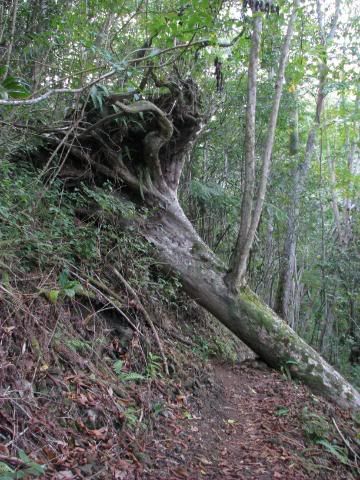
There were a few fallen trees that we had to maneuver over/under/around. (Much more over and under and much less "around" unless we wanted to fall down the hill, wee!)
Is it Waimanu Valley??
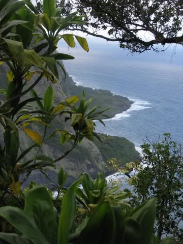
Alas, no it was not.
Our progress on the trail wasn't as bad as we thought it would be, though. We made it to the top of the Z-trail and had lunch, which took until about 1:00 pm. We made it to Helipad #2 at 2:00, Helipad #3 around 3:00, and Helipad #4 around 4:00 (kind of weird, I know). At Helipad #4, it was the top of the trail down to Waimanu Valley, and it was onl 0.9 miles away from the campgrounds.
Great! We had been going about 1.5-2 miles an hour, and this was less than a mile down. We should be getting down in no time at all with plenty of light to spare to explore a little, set up our new tent, cook dinner, watch dusk fall, etc.
Yeah, right.
The last mile was the longest mile ever. Every 10 steps would be a massive spider web (along with spiders!) that would span across the trail. They were all lovingly at head-height as well. If you know me, you know that I had small(ish) spiders and spiderwebs. I can do large bugs like huge cockroaches and tarantulas, but I can't do spiders the size of a nickle... I imagine them climbing into every random orifice on my body. Anyhow, so the 0.9 miles took a whole hour of knocking down spiderwebs (thank god for hiking poles!), maneuvering around parts of the trail that had eroded into the cliff side, taking a few pictures, and knocking out more spiderwebs.
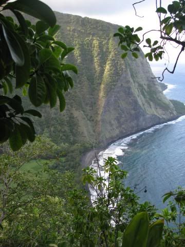
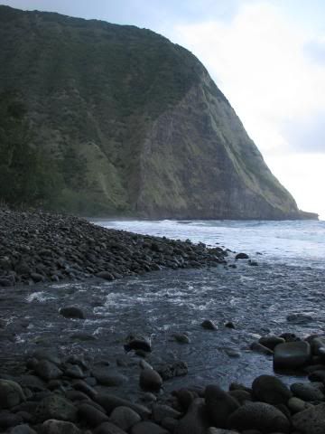
We got to the bottom, finally! Wee.
Haha, and then we had to cross the river.
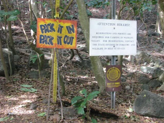
Of course, right before you cross, you come across a pole with a billion signs on it:
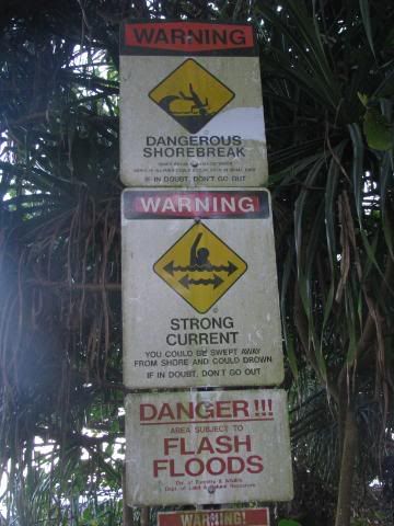
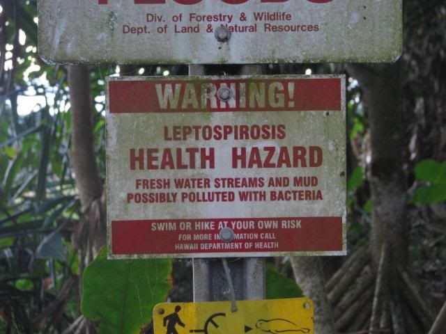
As if THAT wasn't enough to give you the shivers, there is also a memorial for those who had died on the trail--crossing streams or otherwise.
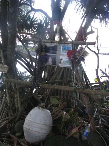
That's not scary at all!
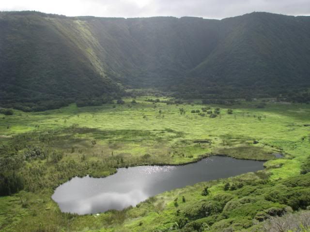
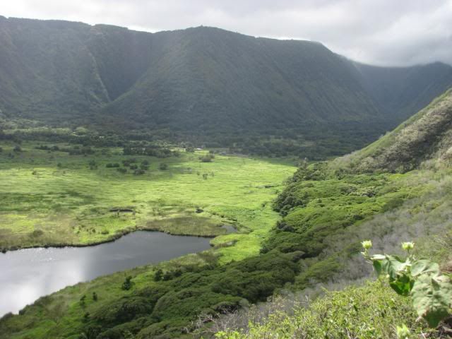
In the end, we made it across, and was rewarded with a beautiful green valley with the clouds rolling in. (Ignoring the human trash, of course.)
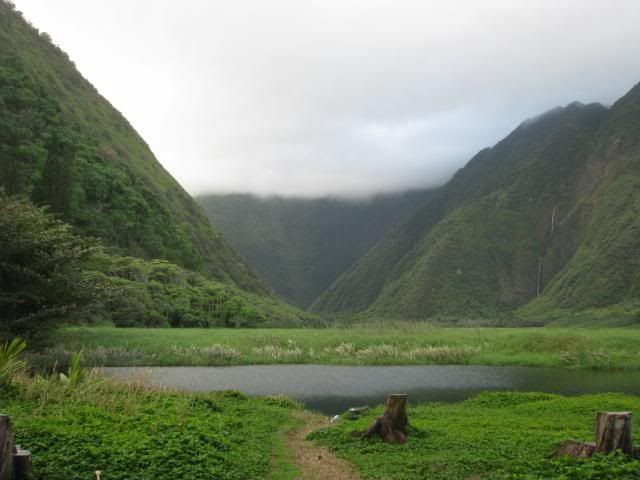
We set up camp, cooked dinner, and crawled into the tent, and got ready for a windy, rainy night.
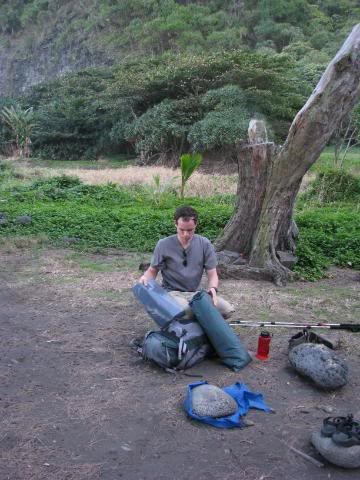
Since there is no electricity, it's an early night. ...More or less, if we ignore the wind and the rain that began to come down, making us feel like our tent was about to collapse on us at any moment in the middle of the night.

1 comment:
I tagged you in a recent post. http://downchrisdown.com/#tab=blog
Also, nice pictures. Hawaii looks awesome.
Post a Comment